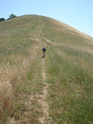
Is that the second false top? |
Thank goodness, the ground is not too rocky. |
Unlike the north side, we could start higher up the mountain on its south side. We utilized various trailheads along the South Gate Road. It made hiking a little easier, but only a little. We still had to go up and down the mountain. We spent several days finishing off the south-side trails. On one of our hikes, we saw a marker signed "Mt. Diablo Meridian" with an arrow pointing north and south.
Mount Diablo is one of the three starting points for the establishment of land boundaries throughout California and Nevada. The other two are San Bernardino Mountain in San Bernardino County and Mt. Pierce in Humboldt County. The summit is the location of the "Initial Point," the north/south meridian and east/west baseline intersection point that is the basis for most property boundaries. It was the first of the three so designated in 1851.
We spent a day hiking the last of the north side trails. It was one of the more exhausting days. Burma Road, an old dirt road that is now part of the trail system, crosses North Gate Road. The intersection was our trailhead. Burma Road was on par with the park's steepest roads. It climbed more than 500 feet in a little over a third of a mile. Normally, we would have either gone up or down that section. Instead, we had to hike it in both directions. We had planned to hike the park's trails in 2009 and our routes were based on an earlier map. The map indicated as if a trail, Stage Road, continued through Diablo Ranch, the private inholding. A couple of weeks before we were ready to begin our hikes, I learned that there was no public access. I had to juggle our route. As a result, we were forced to walk on the North Gate Road for a mile, double back on a couple of long trails and endure a hard day.
|
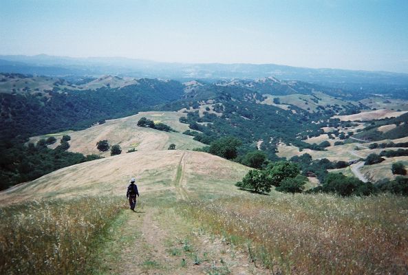
Is that the second false top? |
Thank goodness, the ground is not too rocky. |
The day had its rewards too.
Thanks for not taking off |
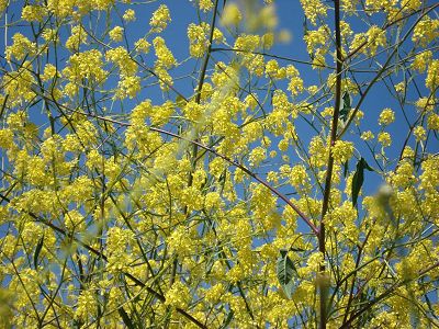
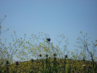
The mustard plants grew tall |
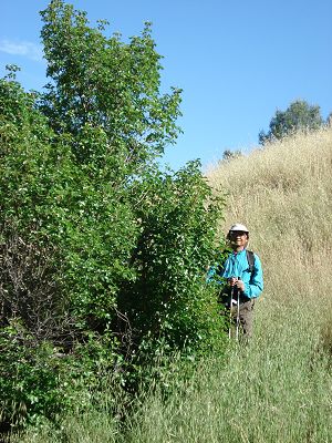
Joy is very interested in natural flora and fauna. She is a keen observer too. We took time to look around rather than hike the trails as quickly as possible. She spotted things that others, including myself, would probably have missed.
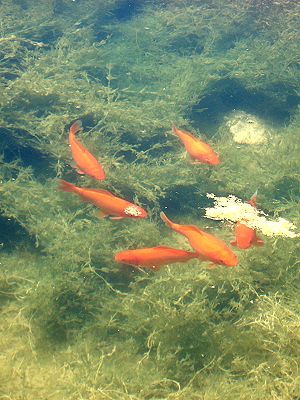
Would you expect to see carps in Mt. Diablo? |
A poison oak tree, not a shrub |
After we had hiked the south side, the only trails remaining were the ones adjoining Morgan Territory Regional Preserve, in the southeast corner of Mount Diablo State Park. The area is somewhat isolated from the main part of the park. One must also walk half a mile on Finley Road to access the trailhead and there is limited parking. Another access point, Red Corral, is even harder to get to with parking for just three cars. It wasn't surprising that there were not too many users.
We parked on Finley Road and began hiking the remaining 40 miles of trails. Just before noon, we started up Oyster Point Trail. This long trail heads west towards the main part of the park. We had barely gone 200 feet, when Joy spotted a sign: "State Park Boundary".
"If we are entering the park now, why did we hike all those trails this morning?" Joy's back pain was getting worse by the day, and understandably, she wasn't keen on hiking trails we didn't have to.
"You make a good point. But, the sign is misleading; I think it just marks the management boundary. The property on either side belongs to the State Park. East Bay Regional Park District, which owns the adjoining Morgan Territory Regional Preserve, just manages the area for the State Park."
I knew that the situation was somewhat ambiguous. We could have elected to hike only the trails under the State Park management. But, my philosophy is, when in doubt, err on the side of doing more, not less.
We had hiked for 17 consecutive days, and now had only 25 miles left. Joy's back needed some rest and the weather forecast for the next day was for rain, not just showers. We decided to take a few days off. We did return and finished off the remaining trails. It felt good to sit back and say, "we did it".
My thanks to the park's staff and the volunteers of Mount Diablo Interpretive Association (MDIA). I am especially indebted to Rich McDrew and Burt Bogardus of MDIA for their help.
Dinesh Desai
May 2010
Read the story of Dinesh and Joy's Death Valley trek.