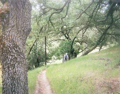
Ohlone Trail near Sunol Regional Wilderness
I had laid out our hike routes based on mileages shown on the park maps. I field-checked them with a GPS as we hiked. The actual mileages differed from the distances calculated from maps, but usually by less than a mile. The exception was the Ohlone Trail on which we hiked from Stanford Avenue in Fremont to Sunol Regional Wilderness. We had to hike a mile beyond my calculated turning around point. John and Patrick, who were hiking with us, didn't complain. Just as well; it wasn't my fault. The mileages on the Ohlone Trail map are listed to the second decimal (e.g. 3.74), implying high accuracy. I was confident that my GPS-calculated mileages were correct, as they were the same in both directions. So much for second-decimal accuracy.
Ohlone Trail near Sunol Regional Wilderness
Traversing the Mission massif was next. As we left the parking lot at Ohlone College, Joy, Naomi, Sunil and I braced for a tough hike. We would climb a couple thousand feet to Mission Peak, continue along the ridge and take side trips to climb Allison and Monument Peaks before descending two thousand feet to Ed Levin County Park. Then we would retrace our steps, except that we wouldn't take the side trips. There would be substantial elevation gain.
Though windy most of the morning, the sunny, cool weather kept our energy high and buoyed our spirits. The views were spectacular and Sunil remarked that he considered this to be the best long hike in the Bay Area. Even though we climbed five thousand feet, all of us felt that it wasn't as hard as we had anticipated. I am sure the cooler weather helped.
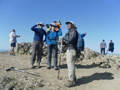
Mission Peak. Even cold winds don't stop the crowds.
That was to be our last cool day; the temperature rose rapidly soon after. We hiked from Rancho San Antonio to Horseshoe Lake in warm weather and did the Henry Coe hike to Manzanita Point in even hotter weather. I had looked forward to our eleventh hike, in Alum Rock Park/Sierra Vista Preserve. Just months ago, a new trail leading to the far reaches of the Preserve was opened. The 2.7-mile section of Calaveras Fault Trail was the only trail that I had never hiked. I had previously covered every inch of our 12 hikes.
The forecast was for a high of 90°F, and to make matters worse, there is no water source in Sierra Vista Preserve, at least not in late spring. So we substituted another 'alternate hike'. Coyote Hills Regional Park and Alameda Creek Trail are close to the Bay and cool breezes are a common occurrence there. And the Creek Trail is mostly level. It turned out to be a good choice. We didn't sweat, literally and figuratively.
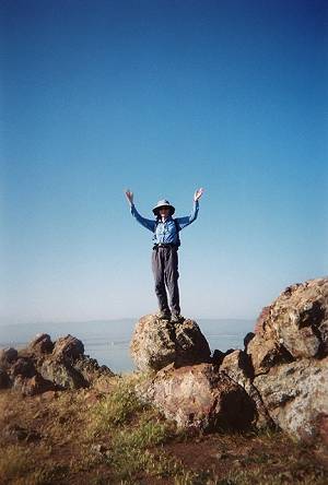
Victory at last!
Joy on Red Hill, elevation 270 feet